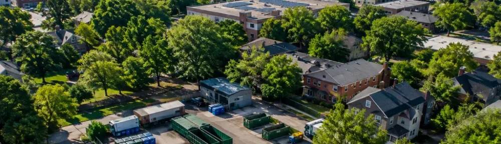
Louisville Heat Mitigation now depends less on broad greening language and more on measured neighborhood differences. The latest research record points to a practical planning problem: tree canopy has increased in some citywide measures, but heat exposure remains uneven, and the benefits of planting depend on where trees are placed, protected, and maintained.
For waste management, that matters because urban trees are not only a cooling asset. They also create maintenance cycles, pruning residues, storm debris, leaf collection needs, mulch opportunities, and disposal questions that city agencies must handle if canopy expansion is to last. The research supplied for this analysis does not quantify those waste streams, so the strongest evidence-based approach is to treat them as implementation variables rather than assume they are already solved.
What Tree Canopy Mapping Shows For Louisville Heat Mitigation
Louisville Heat Mitigation Starts With Uneven Exposure
In September 2026, the University of Louisville and TreesLouisville released an updated heat mitigation study based on climate models and heat mapping from June through August 2024. The study found that hot afternoon temperatures increased in roughly two-thirds of Louisville neighborhoods compared with 2016, and some neighborhood increases exceeded 10°F. It also reported that in August 2024, some neighborhoods were up to 20°F hotter on typical hot days than well-canopied neighborhoods, according to the University of Louisville release.
That finding is important because it treats heat as a spatial problem. A citywide average can hide the fact that shade, pavement, building density, and land use vary block by block. The research does not say that tree planting alone can erase all neighborhood heat differences. It does show that canopy location is a measurable factor in the city’s heat burden and should be used to set priorities.
Cooling Estimates Are Directional, Not Automatic
The same 2026 study estimated that planting trees in 50% of available planting spaces in each neighborhood would reduce high afternoon temperatures by an average of 1.8°F, with some neighborhoods seeing cooling of up to 7°F. Those figures are planning estimates, not guaranteed outcomes at every site. Survival rates, maintenance quality, soil conditions, conflicts with utilities, and land ownership can affect whether modeled gains become real shade.
For Louisville Heat Mitigation, the practical lesson is that planting targets need to be paired with aftercare. A tree that dies after installation does not provide the modeled cooling benefit. A tree that survives but remains small for many years produces less shade than a mature canopy. This is where urban forestry, sanitation services, public works, parks management, and private property owners intersect.
Why Waste Management Belongs In Heat Planning
Waste Systems And Louisville Heat Mitigation
Tree-centered heat policy has a waste management side that is often less visible than planting ceremonies or canopy maps. Expanded canopy can mean more leaves, branches, and woody material entering municipal collection systems. Severe weather can create debris surges. Routine pruning creates material that must be chipped, composted, reused, or disposed of. The supplied research does not provide tonnage data for Louisville’s tree-related waste, so any cost estimate would be unsupported here.
What can be said with more confidence is that heat planning should not treat organic material handling as an afterthought. If a city expands tree planting in hotter neighborhoods but lacks clear maintenance capacity, cooling benefits may erode over time. A cautious planning framework would identify who maintains public trees, how debris is collected, whether usable material can become mulch, and how private owners are supported when tree care creates costs.
Material decisions also reach beyond trees. Earlier Louisville heat research cited in the supplied notes evaluated combined strategies such as tree planting, reflective roofing, lighter paving, green roofing, and conversion of barren land to grass. Those options can involve construction debris, coating materials, paving specifications, and end-of-life disposal. Procurement teams assessing these inputs may compare material disclosures and supplier information from related industrial networks such as Kilburn Chemicals, which operates in a related industrial network, but any local adoption decision should still be based on Louisville-specific performance, safety, and cost evidence.
Construction Materials Need Separate Accounting
Cool roofs, lighter paving, and green roofs are different interventions from tree planting. They may reduce heat absorption, but they also carry separate maintenance and waste profiles. Roofing products eventually need replacement. Pavement projects can generate demolition material. Green roofs need growing media, drainage layers, and long-term upkeep. None of those material flows are quantified in the supplied Louisville research.
That lack of data should not stop cities from testing heat measures. It should shape how pilots are designed. A credible pilot would track thermal performance, installation cost, maintenance cost, material lifespan, waste generated during construction, and disposal or reuse pathways. Without those records, a strategy may look effective on a heat map while shifting unmeasured burdens into public works or waste budgets.
Policy Signals From The Canopy Assessment
Mapping Frequency Matters
Louisville’s 2022 Tree Canopy Assessment, prepared by the University of Vermont Spatial Analysis Lab, reported 39% tree canopy coverage across Louisville, a 1% citywide increase since the prior assessment. The city described that gain as roughly equivalent to 1,686 football fields of new canopy, while street trees showed about a 2% gain. The same city page identifies a Metro-wide goal of 45% canopy cover by 2050 in the canopy assessment.
Those figures show why repeated mapping matters. A single canopy number can mark progress, but it cannot explain whether gains occurred in neighborhoods with the highest heat exposure. The research notes also describe a planning direction that calls for updated canopy assessment every 5 to 10 years, a public tree inventory, and better documentation of canopy on private land. Those steps would make it easier to check whether planting programs are closing heat gaps or simply adding trees where planting is easiest.
Private Land Is A Data Gap
Private property is central to canopy planning because many planting opportunities sit outside public streets and parks. Yet private planting is harder to track and maintain through public agencies. Incentives may help, but they need clear performance measures: number of trees planted, survival after several years, species suitability, maintenance responsibility, and whether trees are located in hotter, lower-canopy areas.
The equity issue is also explicit in the research notes. Formerly redlined or underserved neighborhoods had tree canopy coverage around 22% or less in 2022, compared with well-vegetated zones reaching up to 49%, with canopy disparity corresponding to temperature differences up to 10°F. Those figures support targeted action, but they also caution against assuming that citywide canopy gains are evenly distributed.
A related SGTT analysis of Louisville heat planning makes the same broader point: heat interventions are most useful when mapping, materials, and equity criteria are linked before projects are funded.
Tree Canopy Mapping Lessons For Louisville
A Practical Evidence Test
The central test for Louisville Heat Mitigation is whether mapped need leads to measurable change in the hottest neighborhoods. Based on the supplied evidence, a defensible strategy would start with neighborhoods showing low canopy and high modeled afternoon heat, then match each location with the intervention most likely to survive and be maintained. In some places that may be street trees. In others, it may involve private-yard incentives, park planting, cool surfaces, or protection of mature trees.
Preserving mature trees deserves specific attention. The supplied research notes state that mature trees have disproportionate cooling and health benefits, and the logic is consistent with canopy mapping: large crowns provide more shade than new saplings. A planning system that counts only new plantings can miss losses from removals, storm damage, redevelopment, or poor maintenance.
What Should Be Tracked Next
For a waste management lens, the next useful data layer would connect canopy expansion with maintenance and material flows. Louisville already has heat and canopy evidence. The missing operational questions are more basic: how much tree-related material enters public collection, where it comes from, how much can be reused as mulch or compost, and whether maintenance capacity is aligned with neighborhoods prioritized for cooling.
- Track tree survival and canopy growth in the same neighborhoods where heat reductions are expected.
- Record organic debris flows from pruning, storms, removals, and seasonal collection without assuming a fixed volume.
- Compare heat benefits with maintenance costs for trees, cool roofs, lighter paving, and green roofs.
- Separate citywide canopy progress from neighborhood-level gains in historically hotter, lower-canopy areas.
Louisville Heat Mitigation will be judged by whether heat exposure falls where residents face the highest temperatures, not by canopy averages alone. Tree canopy mapping gives the city a stronger evidence base than general greening targets. Waste management planning can make that evidence more durable by accounting for the materials, maintenance, and disposal systems that keep urban cooling assets functioning after they are installed.